Finally! Google Maps Now Shows Live Traffic for Ghana
Google Maps is one of the most useful smartphone apps for the everyday person.
Staring this Month, one of the great features of Google Maps will be the ability to warn users in Ghana in real-time if there’s any traffic on their route and suggest alternative options so they don’t get stuck in traffic.
How does Google Know What’s Happening on the roads in Ghana?
Every time we use Google Maps and allow it to access our location, the app will also send location data back to its servers. That way, when our location is on a roadway, Google is able to analyze in real-time whether we’re actually moving or if we’re stuck in traffic.
By pooling data from millions of users around the clock in Ghana, and matching them with days, time, season, etc Google is also able to see and also predict when and where you can expect heavy traffic.

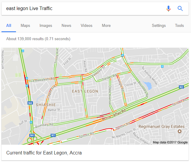
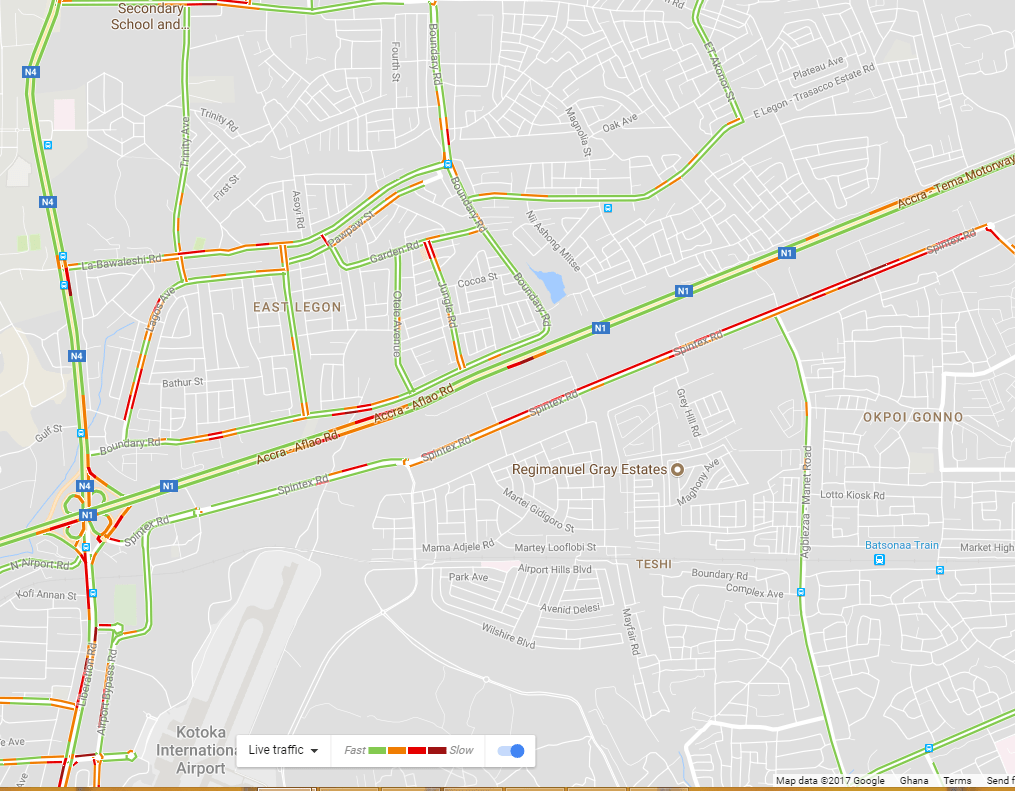
What do the different colors like orange, red, and blue mean?
The colors indicate the speed of traffic on the road.
- Green means there are no traffic delays.
- Orange means there’s a medium amount of traffic.
- Red means there are traffic delays. Generally, the more red, the slower the speed of traffic on the road.
How to use the Google Live Traffic in Ghana
To use the feature, just open your Google Maps on Android or iOS. If you are on PC, just search “{Your location} + ‘Live Traffic'” on Google.
Example: Search “East Legon Live Traffic” on Google